1877 Hand-Colored Street Map of Salem, Massachusetts, Featuring Building Footprints & Property Owner Names
n.d. c.1877. 1st Edition. Folio. Very Good. Item #13264
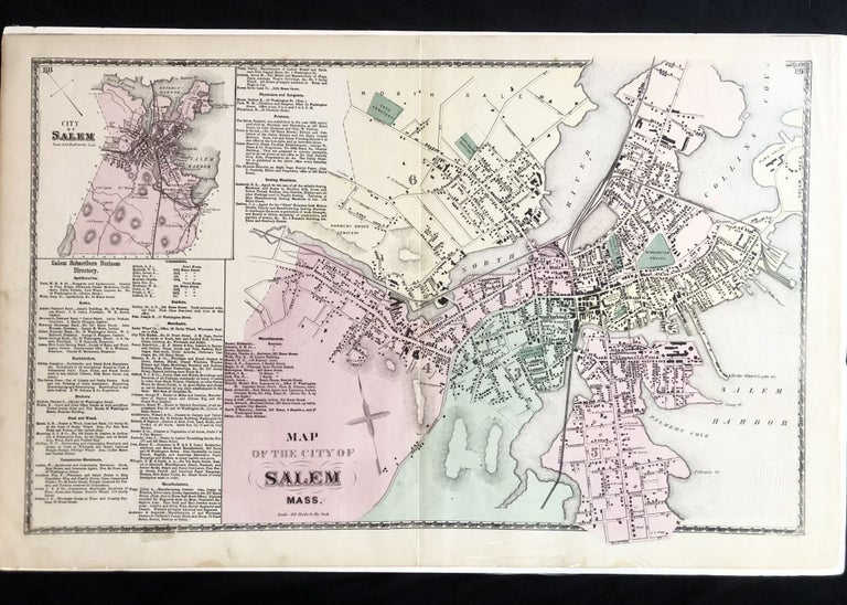
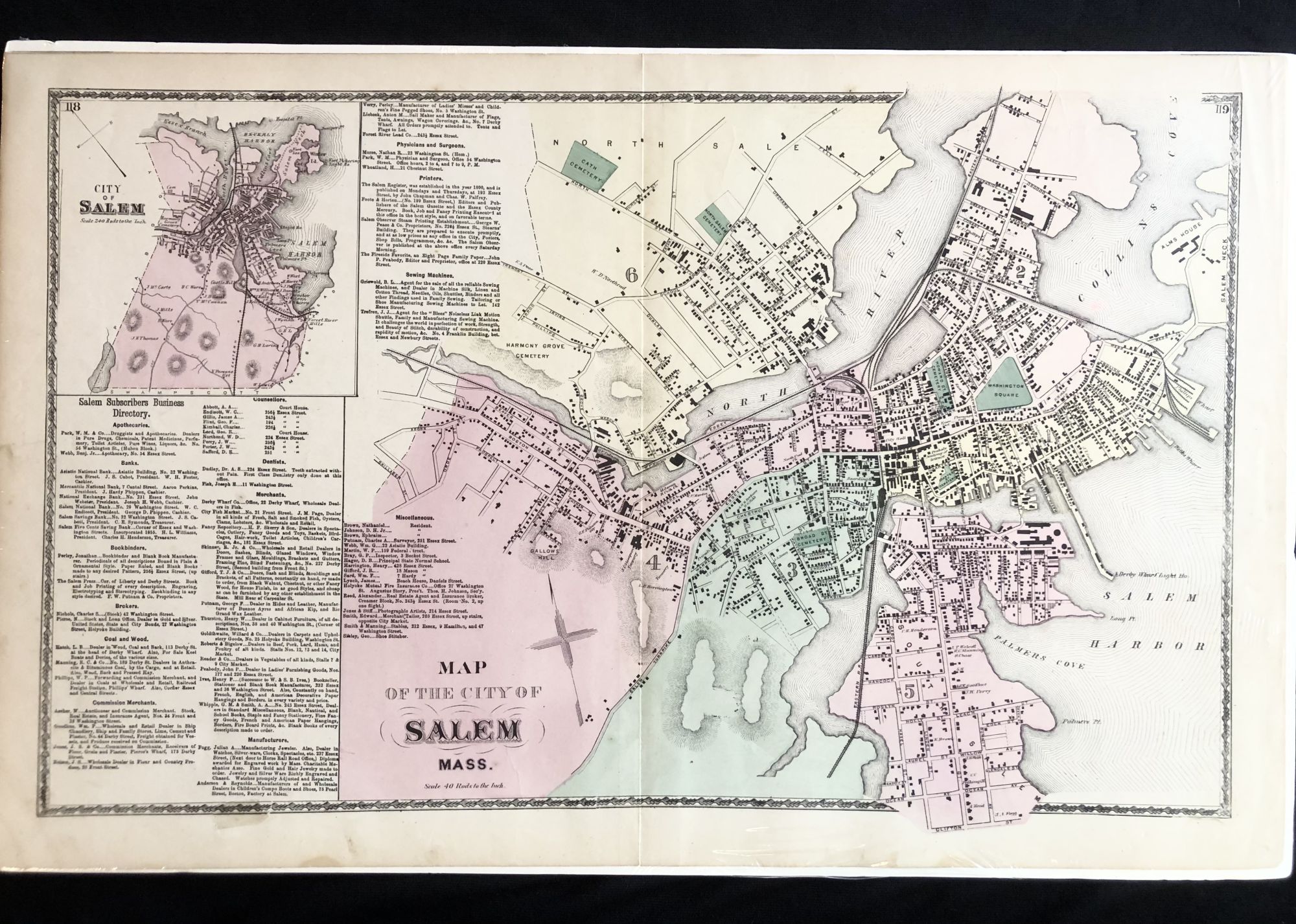
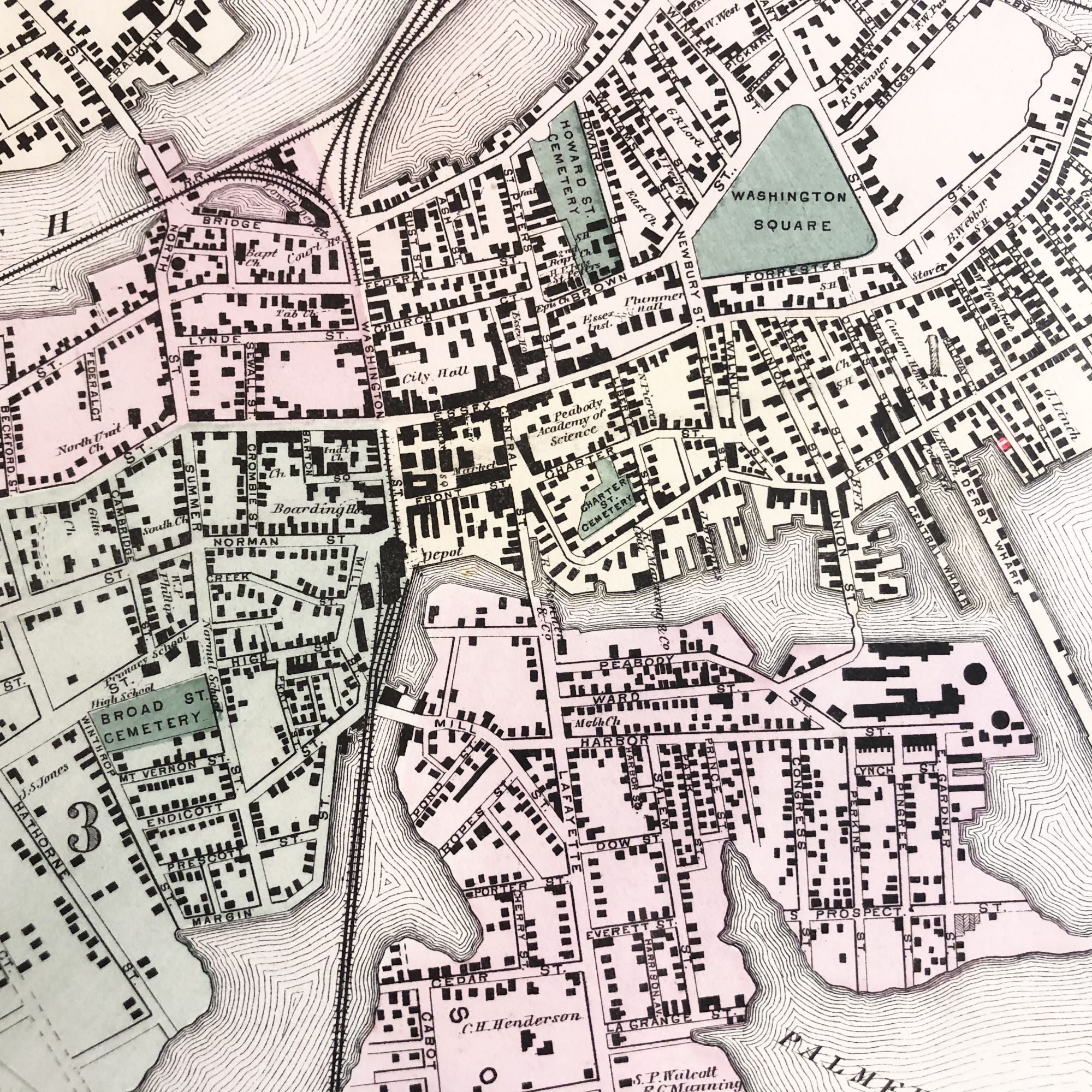
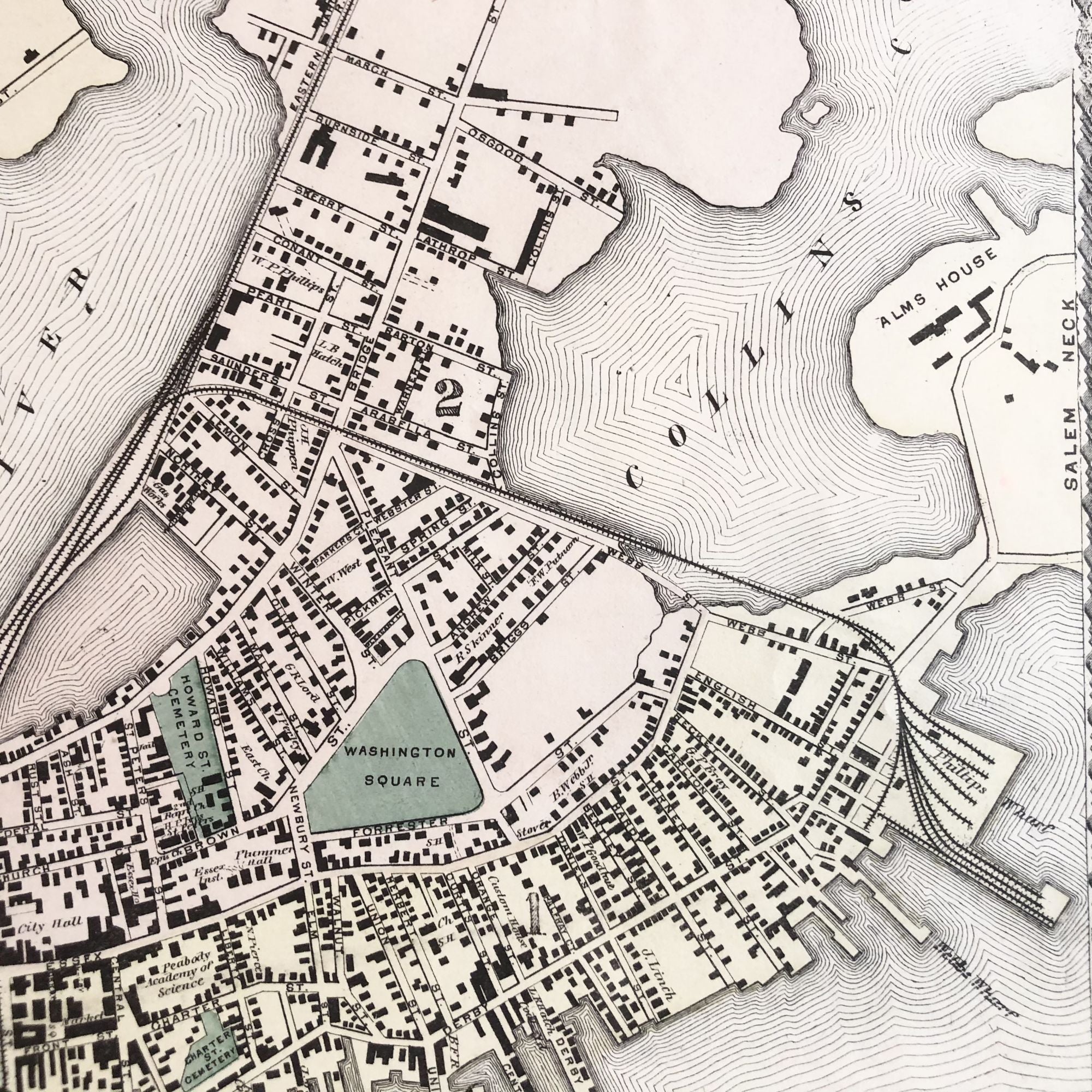
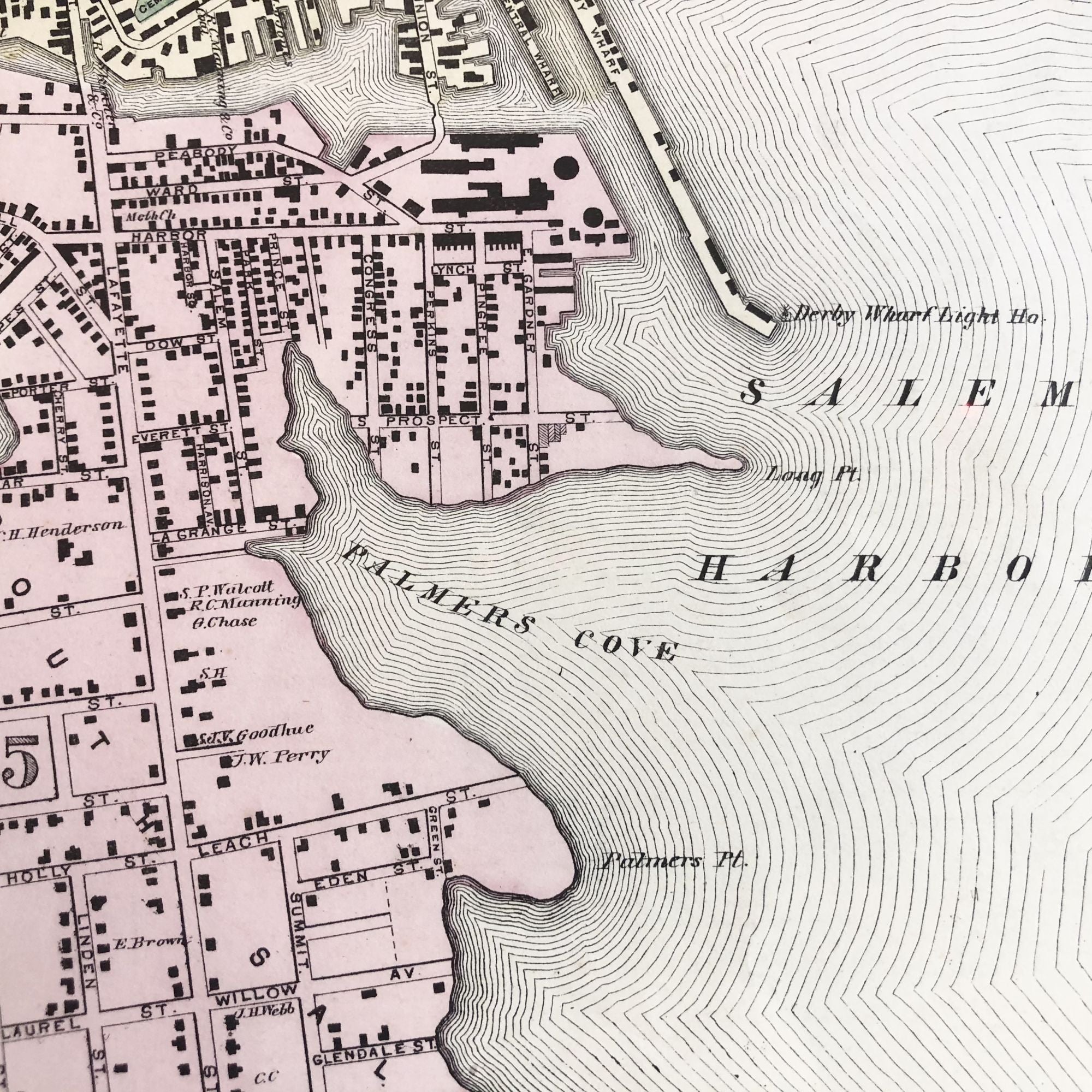
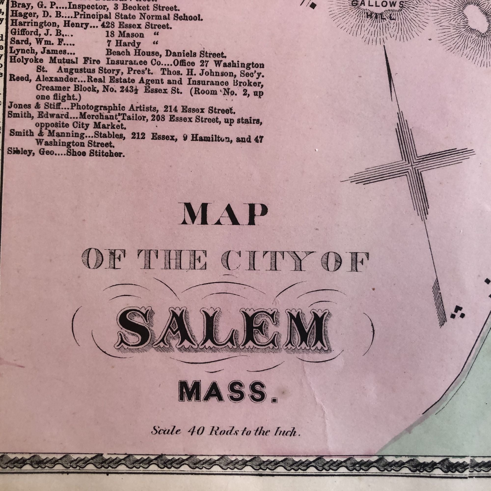
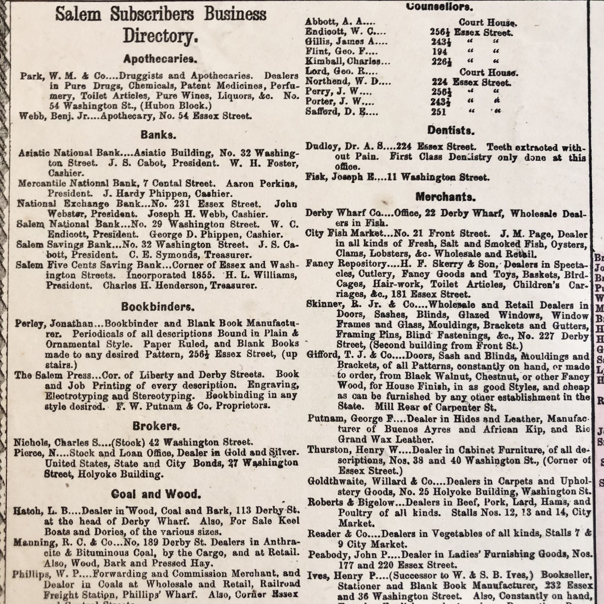
Original c.1877 hand-colored map of Salem, Massachusetts, featuring building footprints, some property owner names, and original street names and map sponsors.
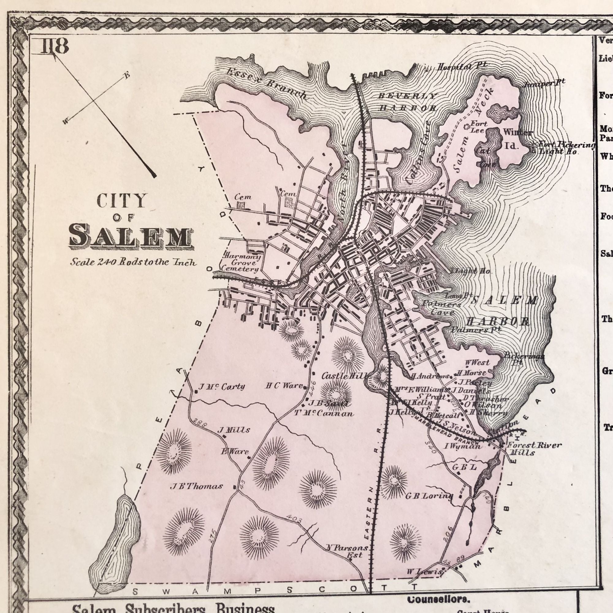
In vignette in the upper left corner is a higher-level map of Salem depicting the surrounding area.
Featured on the map are 19th-century railroad lines, Salem Harbor, Washington Square, and several of the town's historic cemeteries.
This historic piece measures 26" X 16.5" and is perfect for framing and display!
Price: $125.00