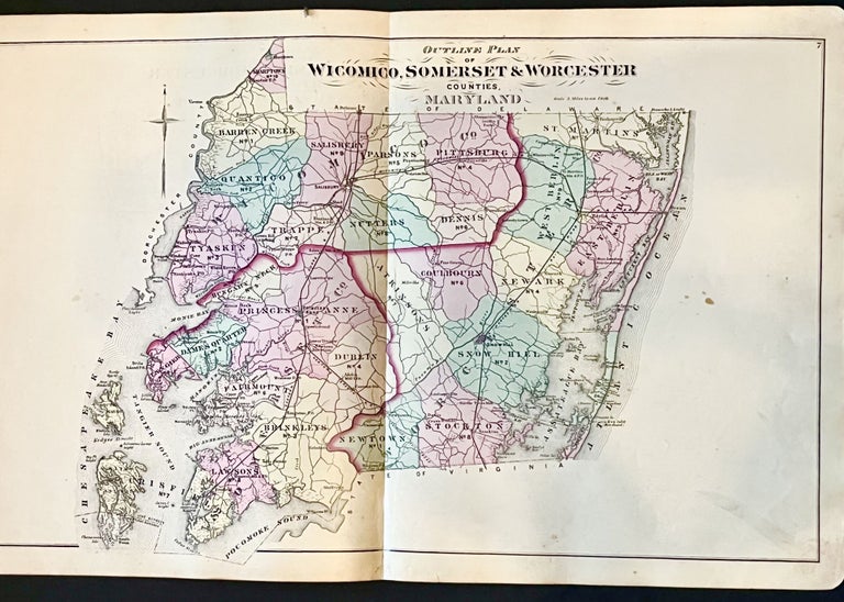
Original 1877 Hand-Colored Map of the Lower eastern Shore of Maryland (Wicomico, Somerset, Worcester Counties)
Philadelphia: Lake Griffing & Stevenson, 1877. 1st Edition. Very Good. Item #15157
Original 1877 hand-colored street map of the Lower Eastern Shore of Maryland.
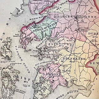
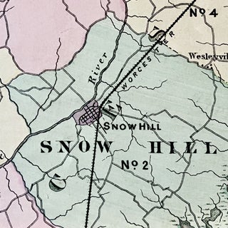
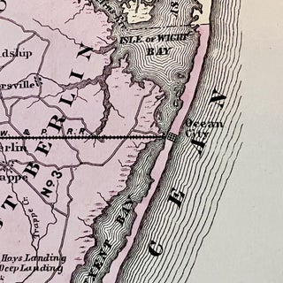
This map depicts Wicomico, Somerset and Worcester Counties as well as a much larger Smith Island and the towns of Salisbury, Crisfield, Ocean City, Berlin, Princess Anne and many more. Also featured are the lines of long defunct Eastern Shore railroads such as the , the Worcester, the Wicomico & Pocomoke, the Eastern Shore Railroad & the Newton Branch.
This historic piece measures 26" X 16 1/4" and is in Very Good condition. The lower edge of the centerfold has been professionally restored where there had been a separation. Sporadic light foxing and a darker discoloration to the lower left corner.
Overall a very handsome edition of this scarce Eastern Shore of Maryland map and perfect for framing and display!
Sold


