
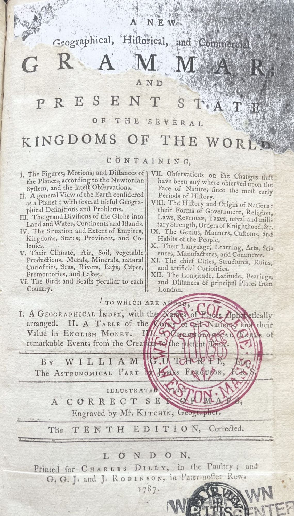
A New Geographical, Historical, and Commercial Grammar; and Present State of the Several Kingdoms of the World
London: Charles Dilly in the Poultry, 1787. 8vo. Very Good. Item #15161
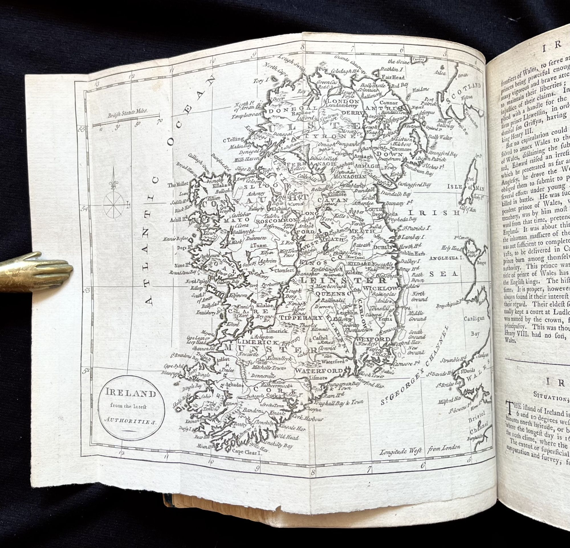
An extremely attractive and well-preserved 1787 edition of this popular 18th-century geographical work, complete with 21 fold-out maps, all in excellent condition.
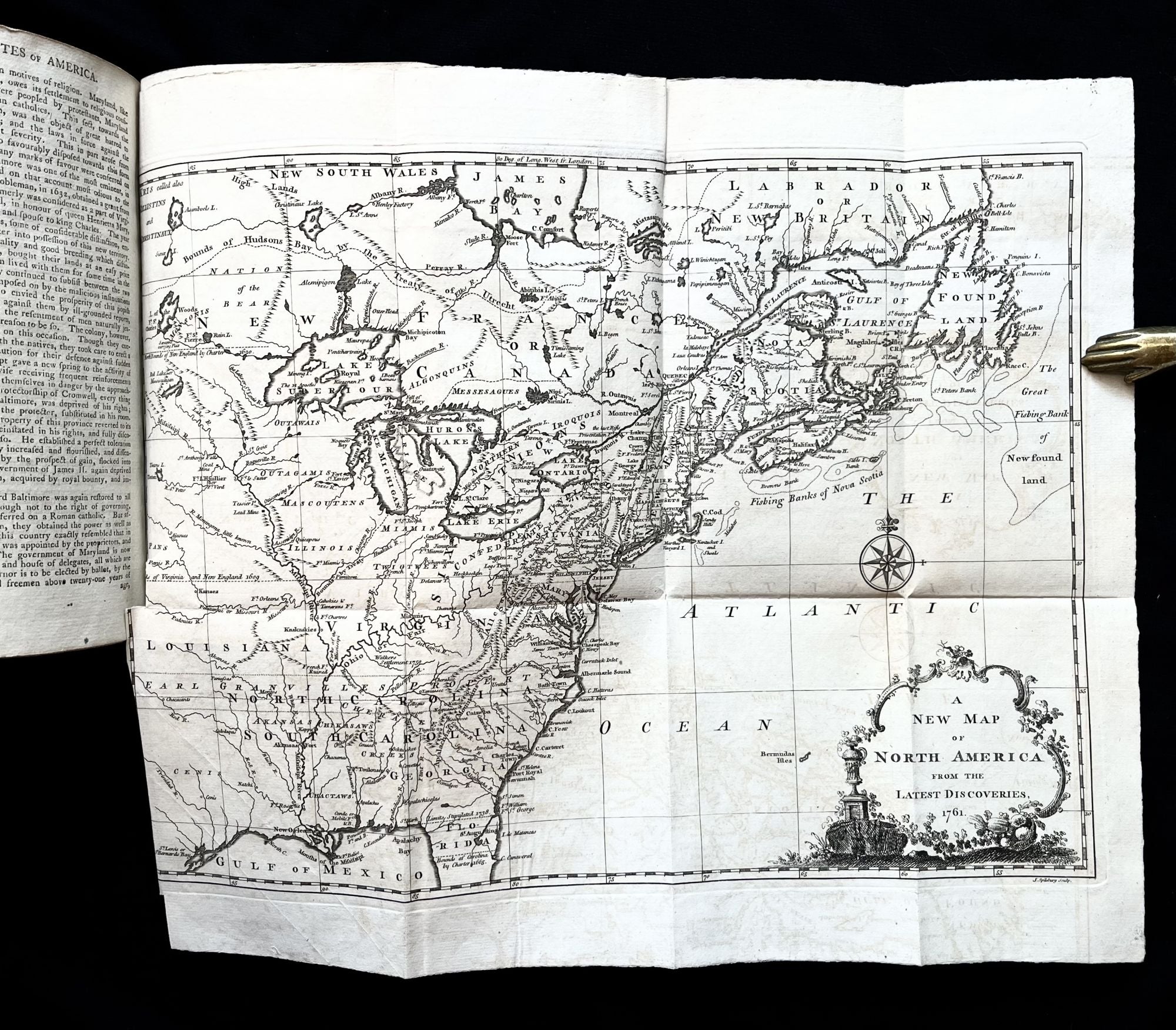
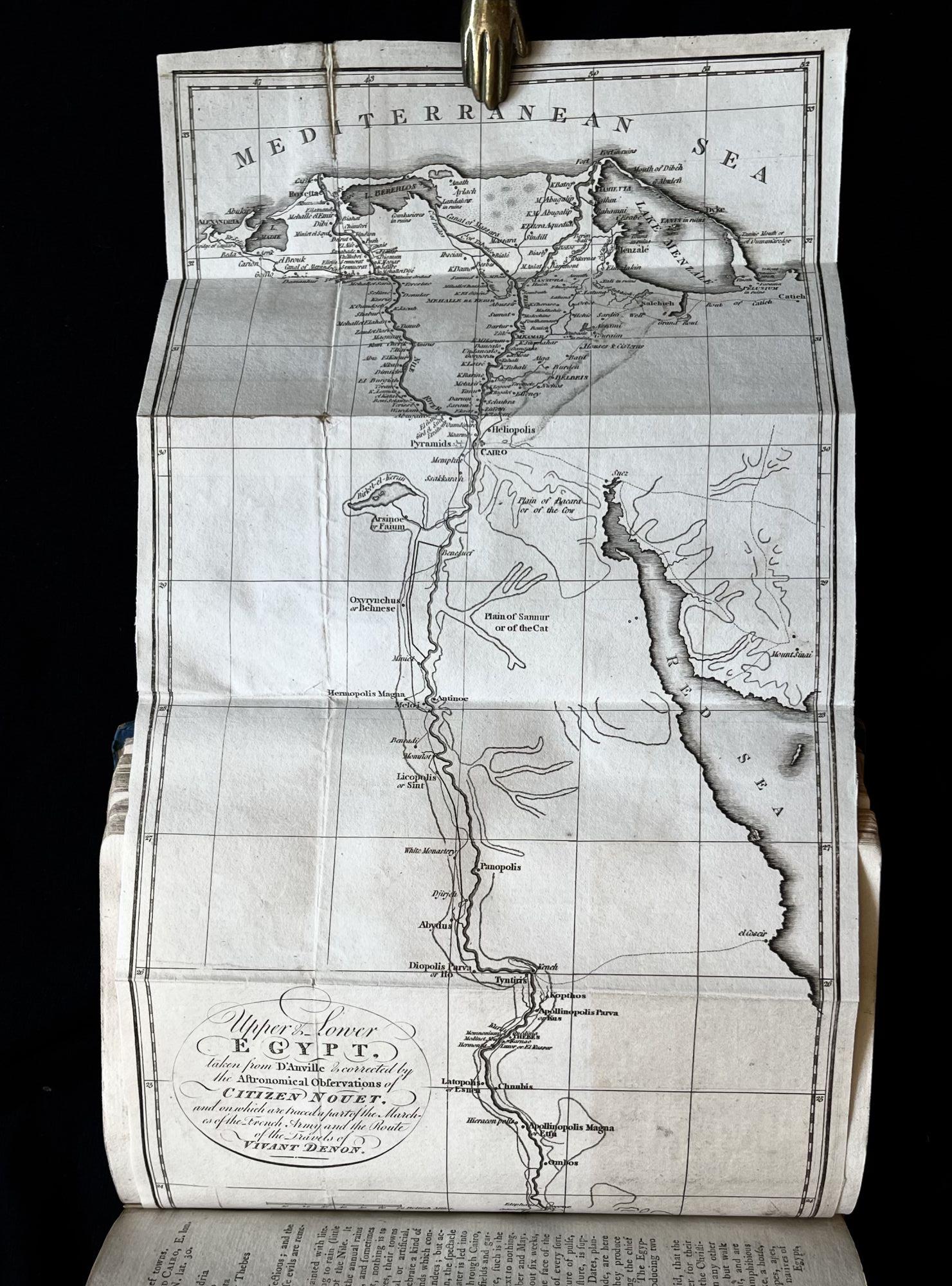
[1], 12, 928pp. [21] map plates, 2 engraved illustrations, charts.
Listed in Thomas Jefferson's inventory of the library of attorney and mentor George Wythe as "Guthrie’s Geography", this is one of the titles Jefferson maintained in his own library. He later sold his 1st American edition to the Library of Congress in 1815 after the British burned Washington, DC during the war of 1812.
The 1770 1st Edition was a 'mere' 700 or so pages, while this 1787 10th Edition boasts a whopping 928pp.
This is the first edition published after the end of the Revolutionary War and features updated sketches of all 13 former colonies along with two large fold-out maps of North America, one of the new United States, dated 1761 from the French and Indian War period.
Guthrie covers the entire known globe at the time and his maps, taken from a variety of sources, are remarkably detailed for the time.
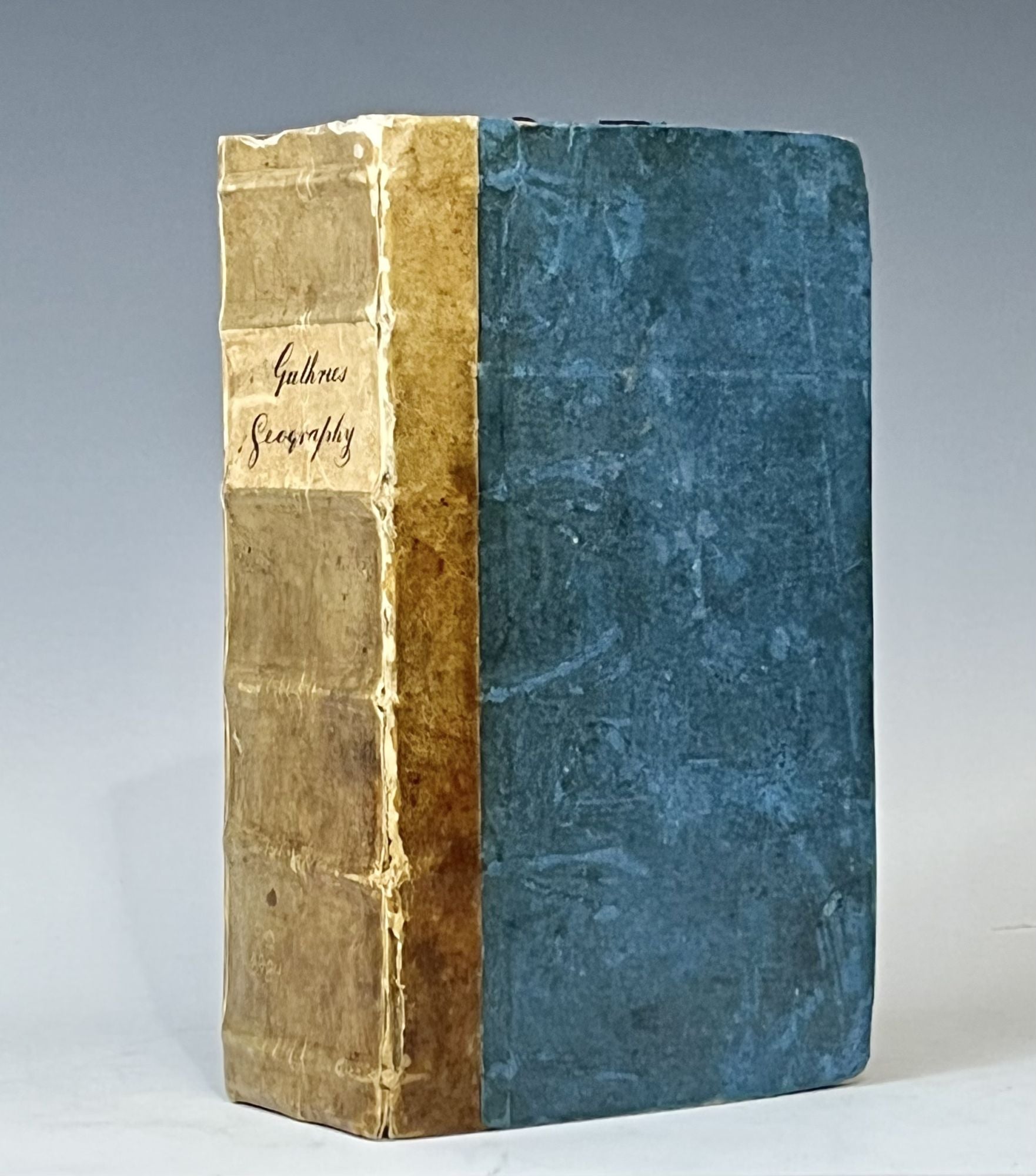
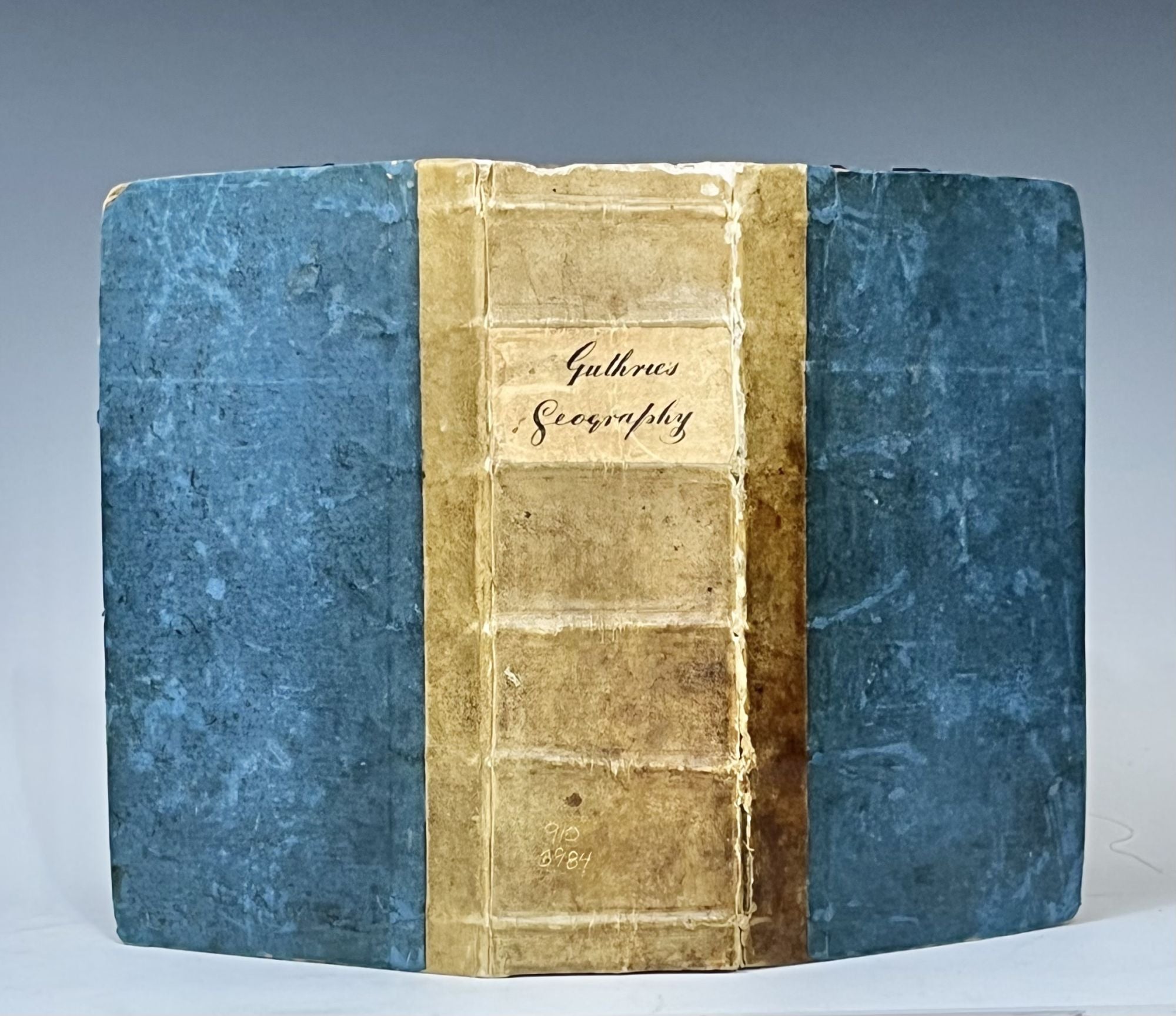
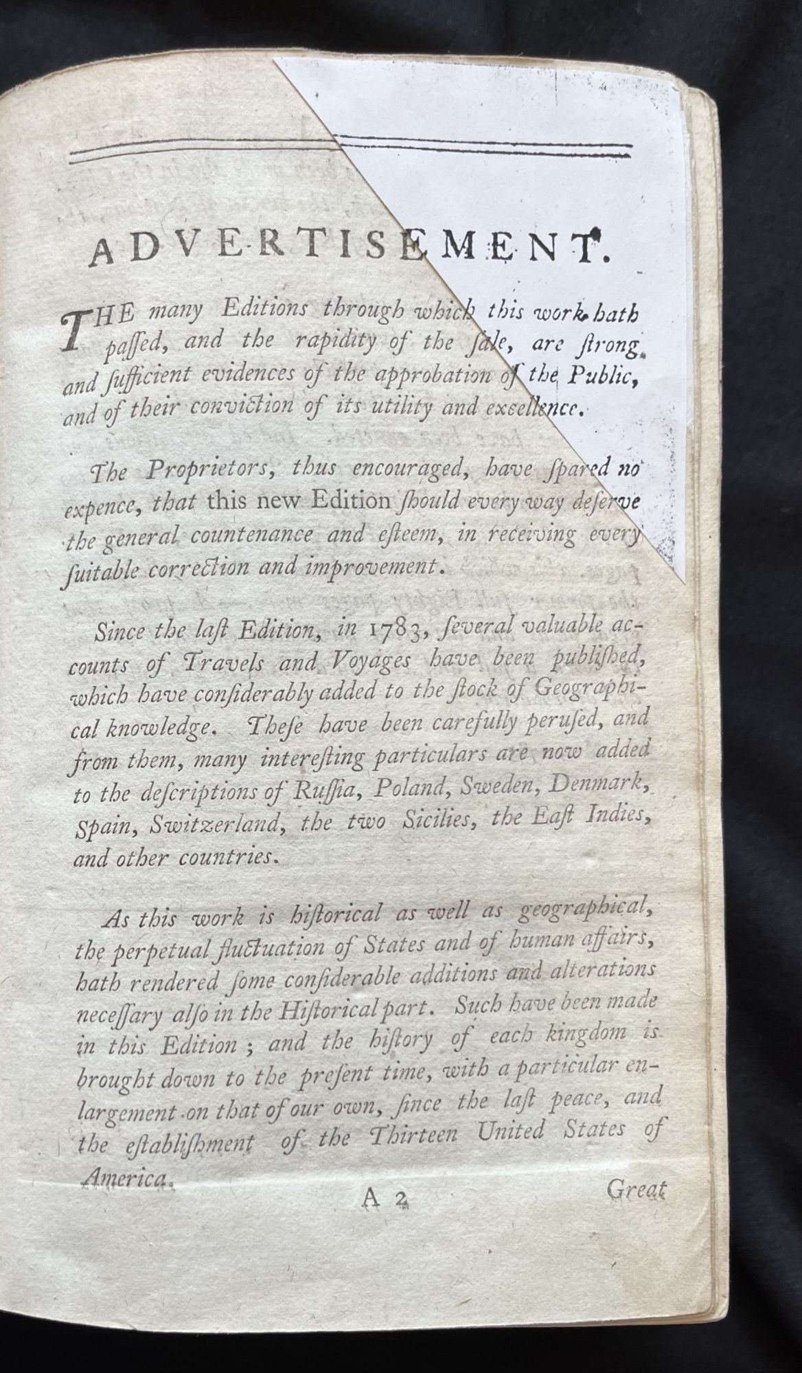
Contemporary quarter vellum over blue paper-covered boards. Printed paper spine label in manuscript form. Square tight binding. Clean interior, save for early signature at top of preface page. Top edges of title and Advertisement pages with yeoman-like restoration, matching photocopies of lacking text to existing pages. Mild rubbing and edge wear, more significant at corners. Title page with stamp from Weston College library as well as a deaccession stamp to same page. Map of Egypt and the Nile River with closed tear and ancient tape repair.
Overall a very handsome example of this 18th century geography with outstanding fold-out maps!
Sold