
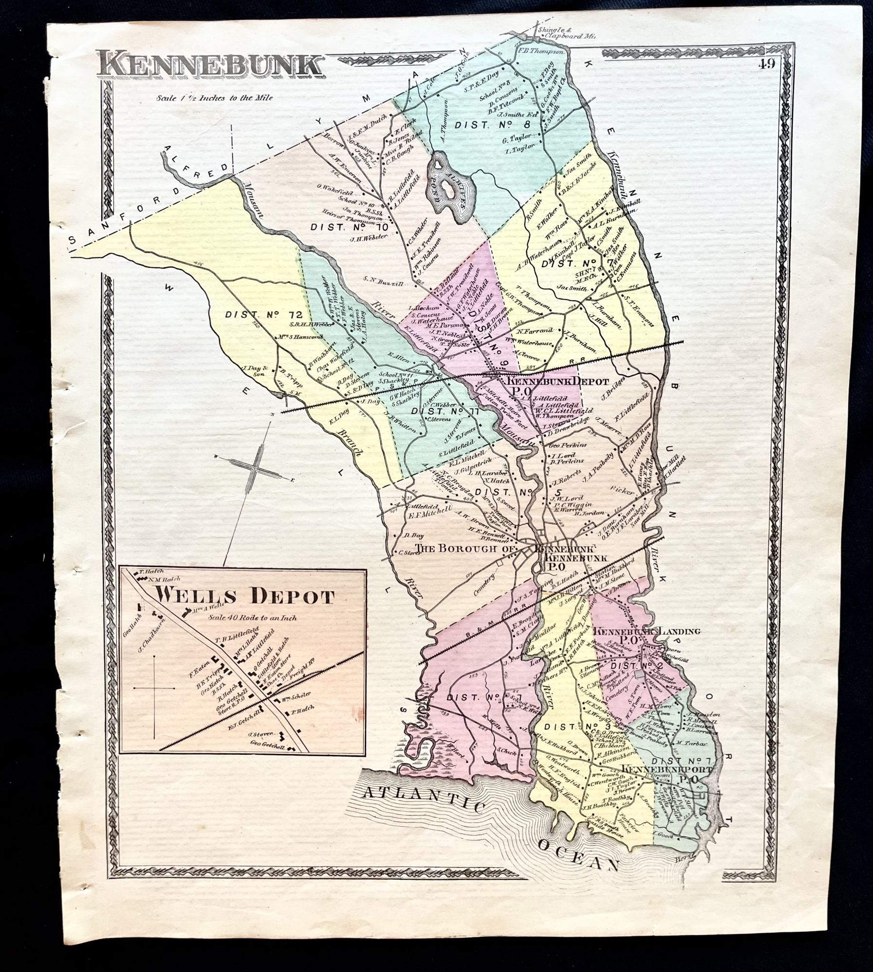
1872 Hand-Colored Street Map of Kennebunk, Maine w building footprints and Property Owner Names just after the Civil War
Philadelphia, Pa: Sanford, Everts & Co., 1872. 1st Edition. Folio. Very Good. Item #16074
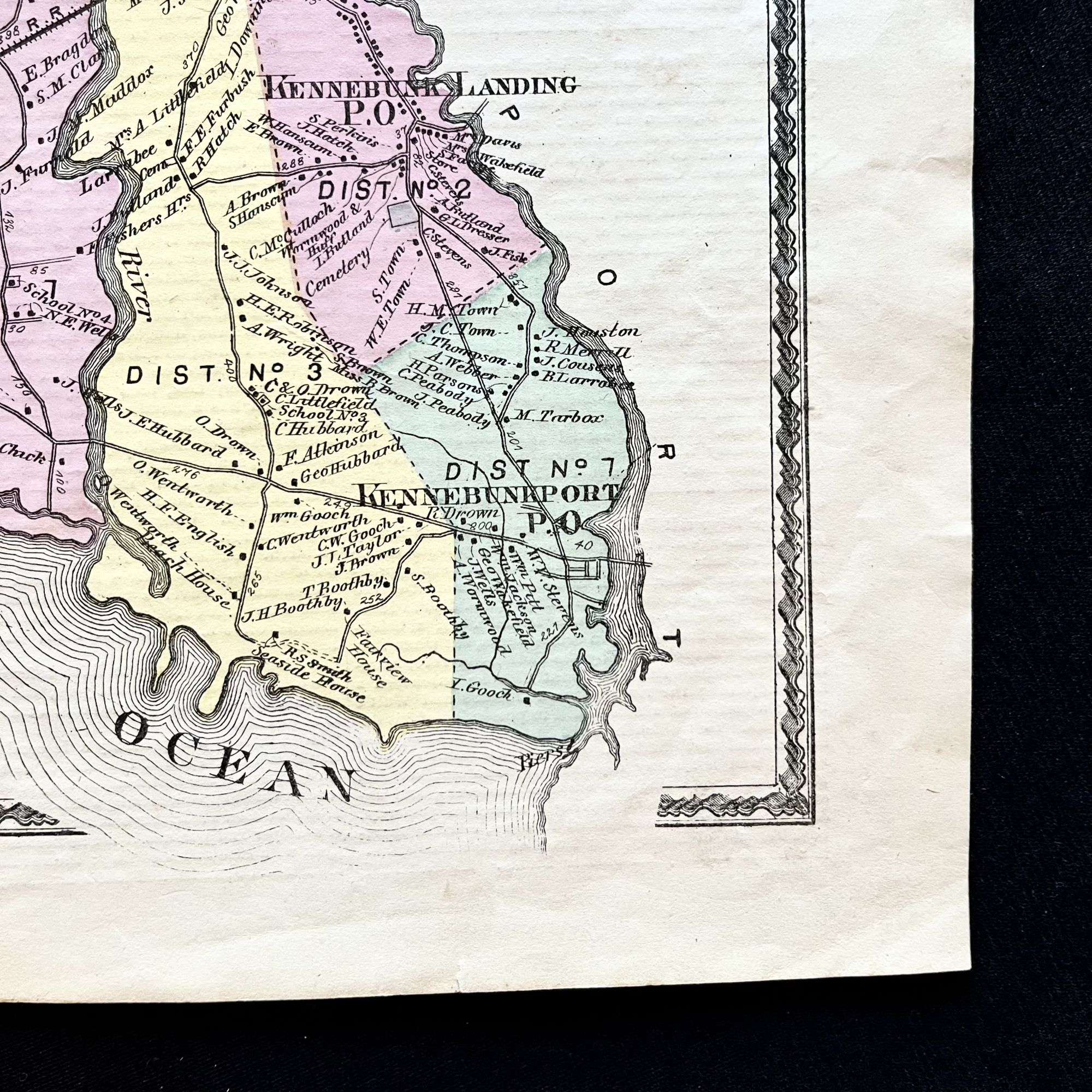
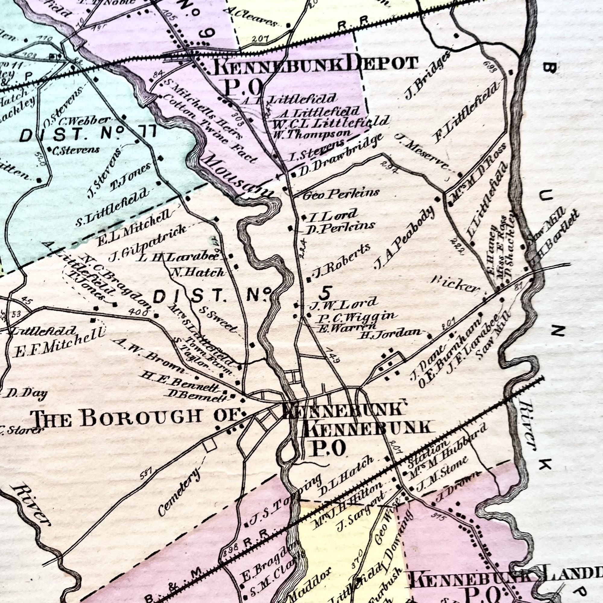
A beautiful 1872 hand-colored map of Kennebunk, Maine and surrounding area in York County, Maine.
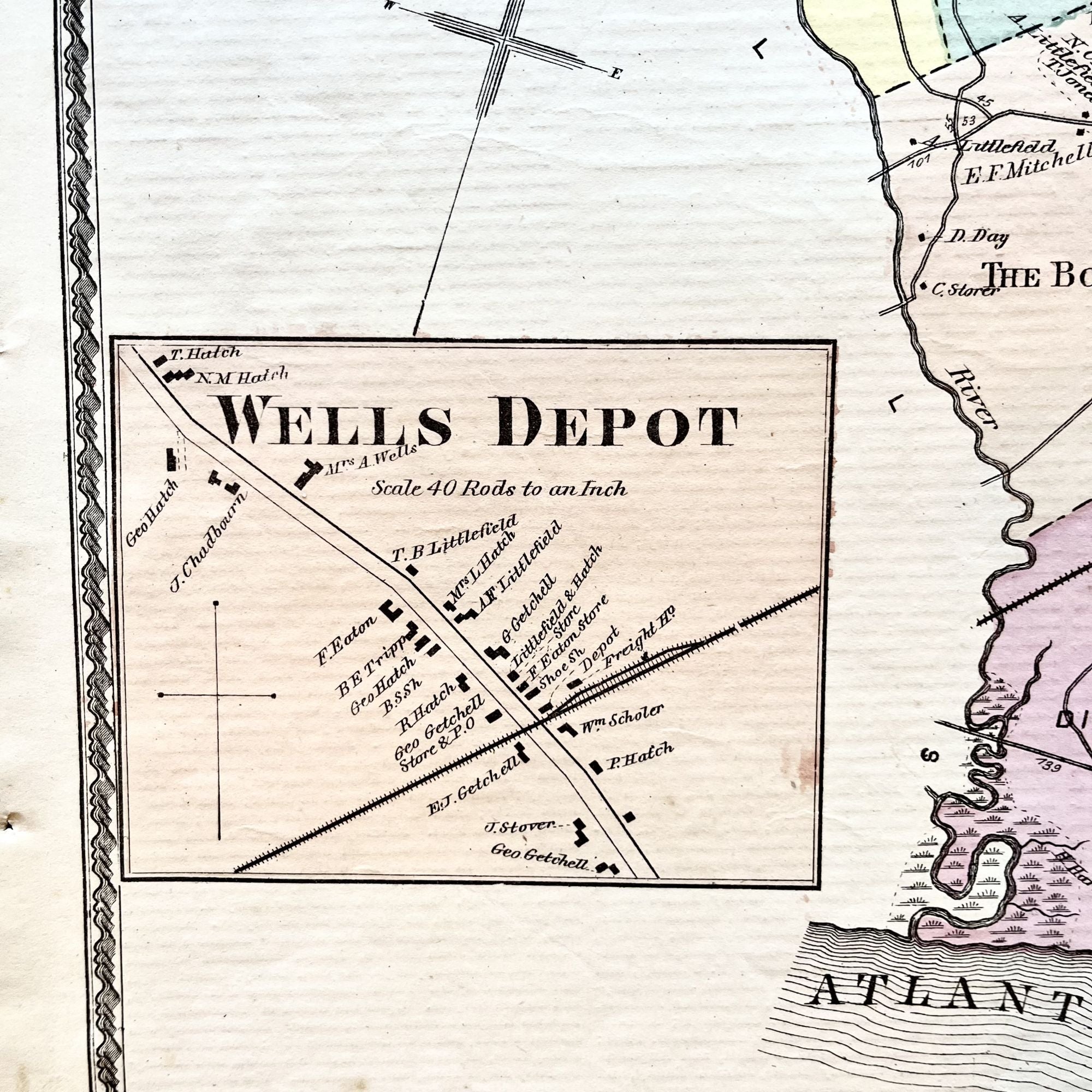
This map includes property owner names, building footprints in Wells Point and lines of the defunct Boston and Maine Railroad. Vignette of Wells Depot.
This map measures 16" X 14" and is perfect for framing and display!
#2D-030.
Sold
See all items by Maine history 19th Century Kennebunk