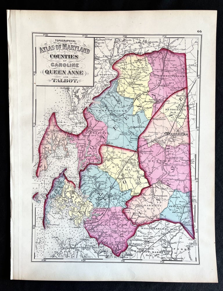
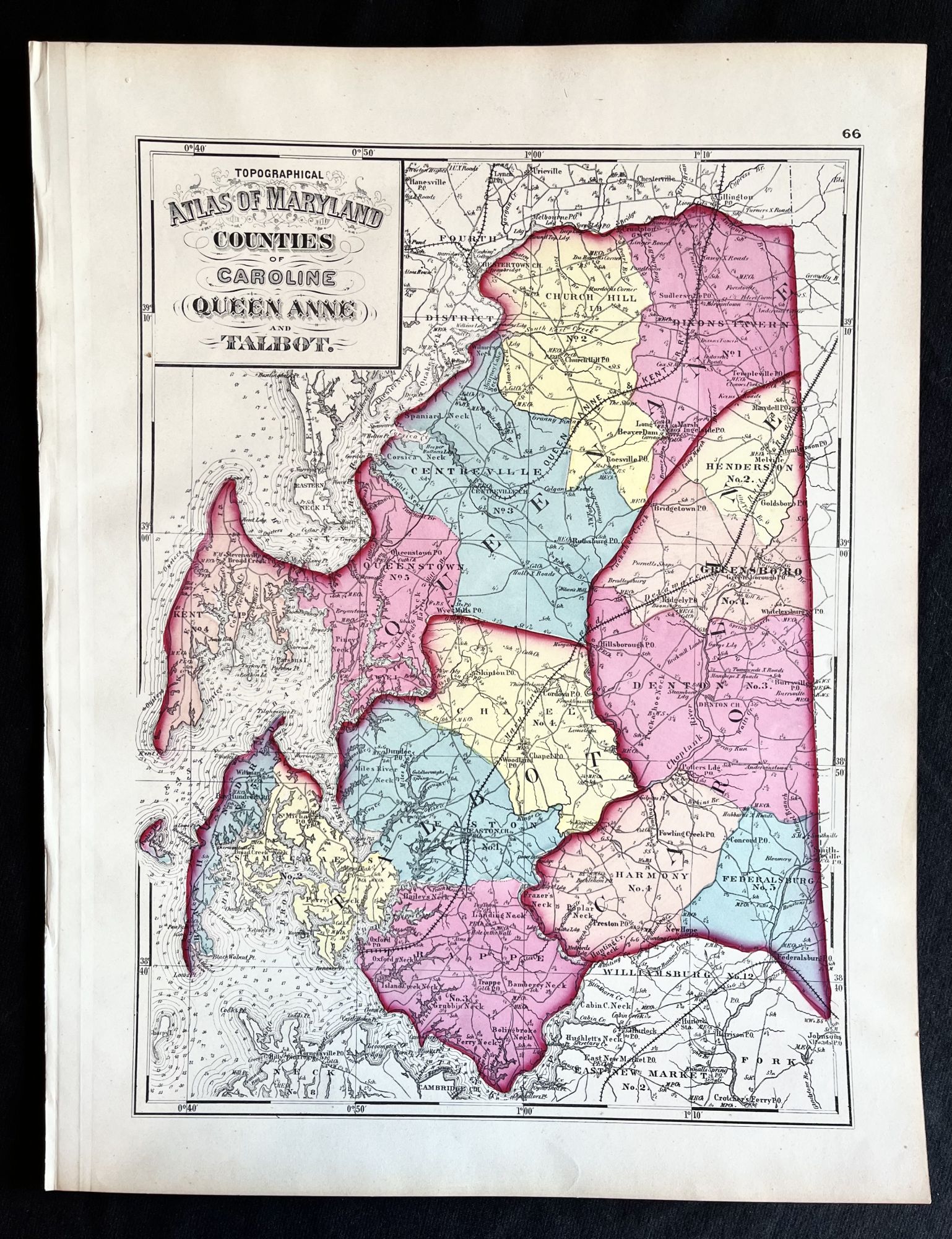
1873 Hand-Colored Martinet Atlas Map of Talbot, Queen Anne's and Caroline Counties
Martinet, 1873. Folio. Fine. Item #16185
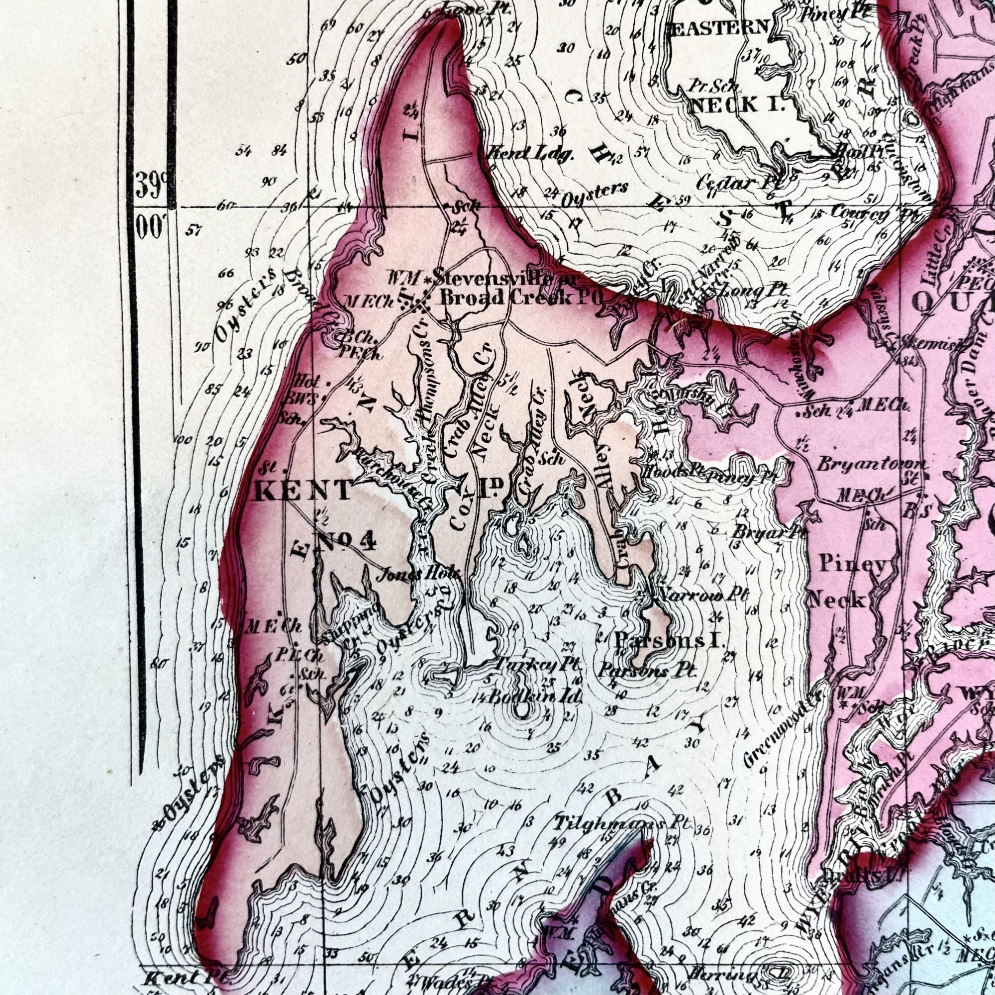
An exquisite 1873 hand-colored map of of the Mid-Shore region of the Eastern Shore of Maryland, the finest one we've handled.
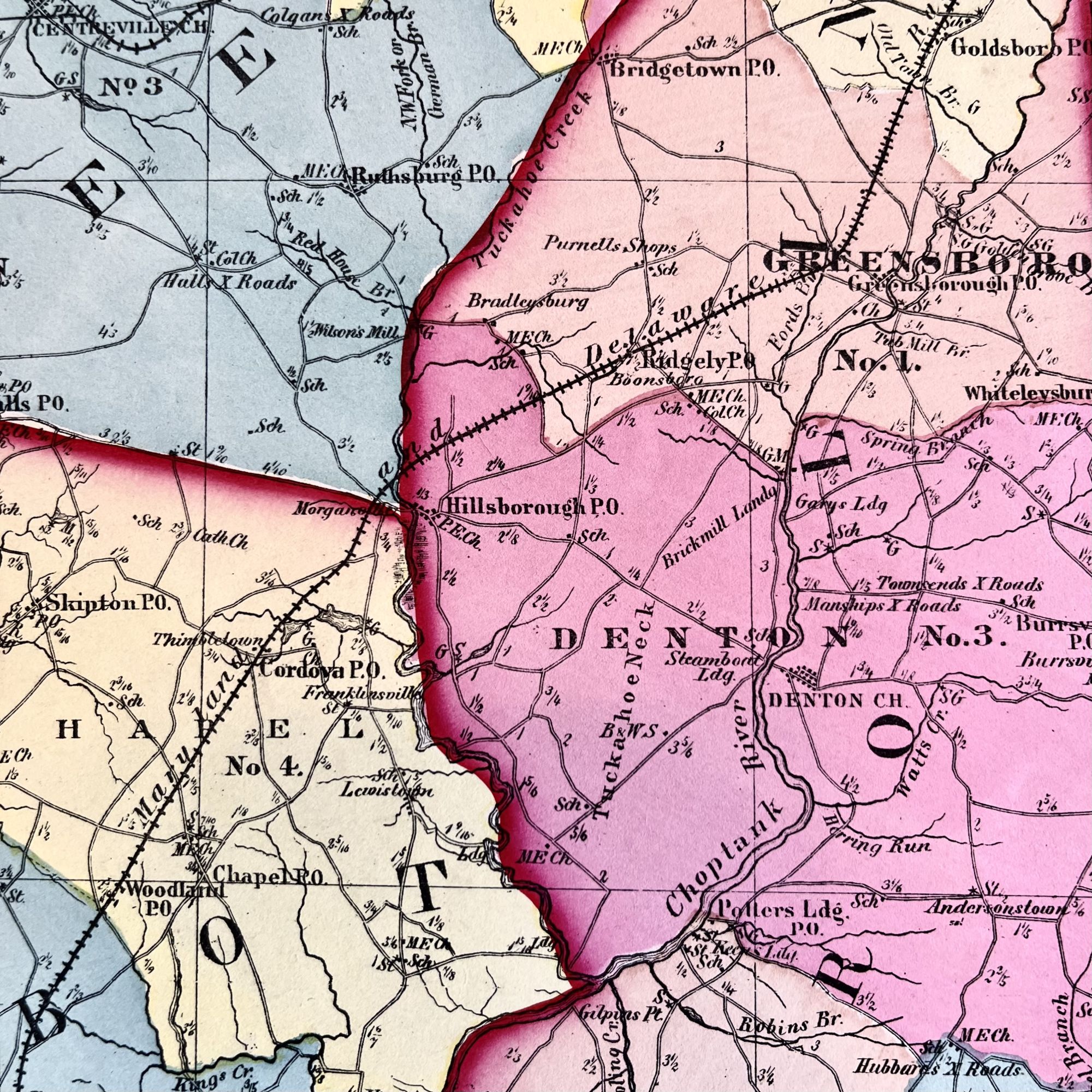
This map depicts Talbot, Caroline, and Queen Anne's Counties and features now-defunct Eastern Shore railroads such as the Maryland and Delaware, the Queen Anne & Kent and others.
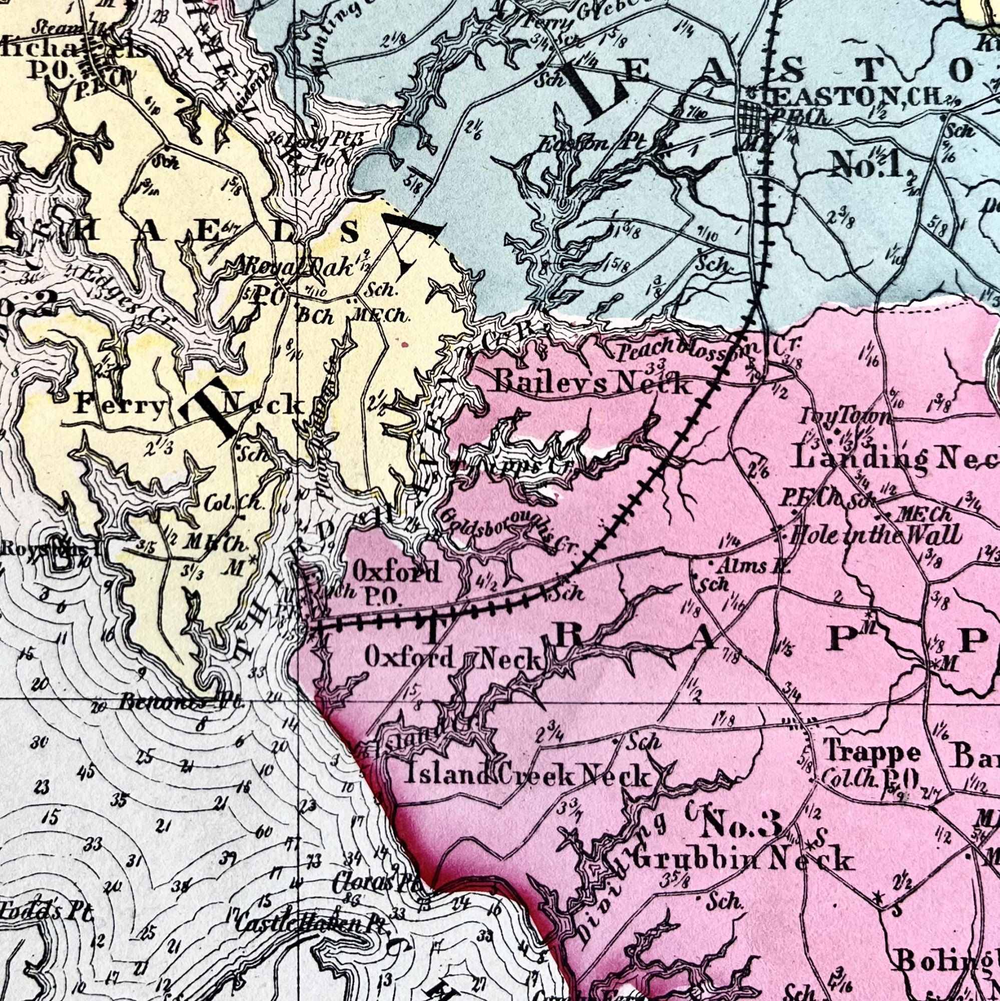
Significant towns such as Easton, Oxford, St. Michaels, Cambridge, Denton, Queenstown, Trappe, Federalsburg and more are depicted.
This map is one of the earliest, if not THE earliest to show the railroad lie to Oxford, completed just two years earlier in 1871.
This map measures 17 1/4" X 13 1/4" and is virtually flawless, with just a hint of age toning around edges.
An exquisite example perfect for framing and display!
Sold