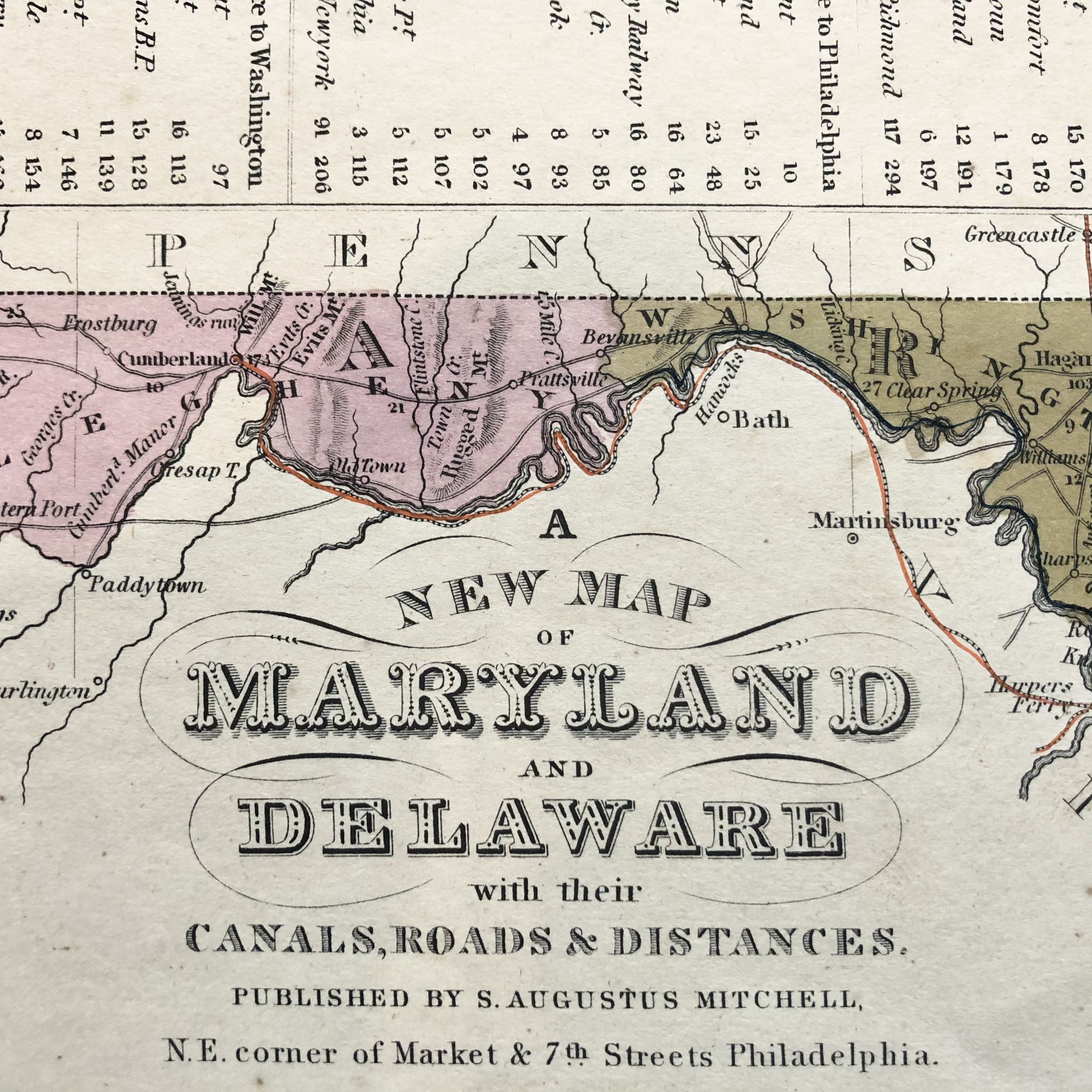
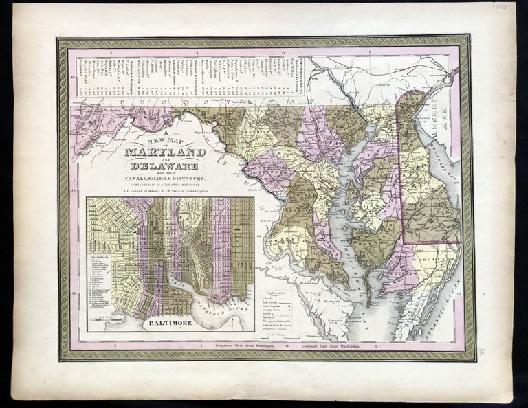
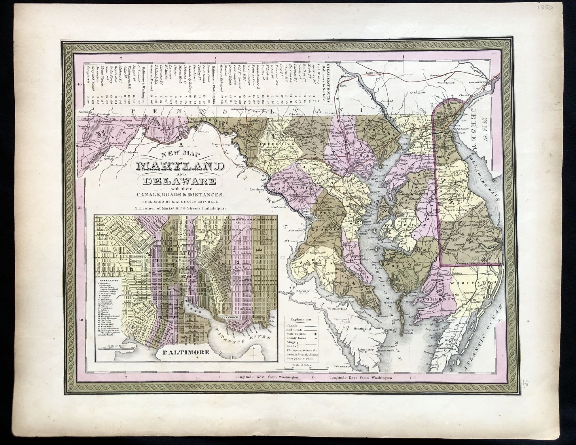
A New Map of Maryland and Delaware with their Canals, Roads & Distances
Philadelphia: Augustus Mitchell, 1850. Very Good. Item #IS-0421094
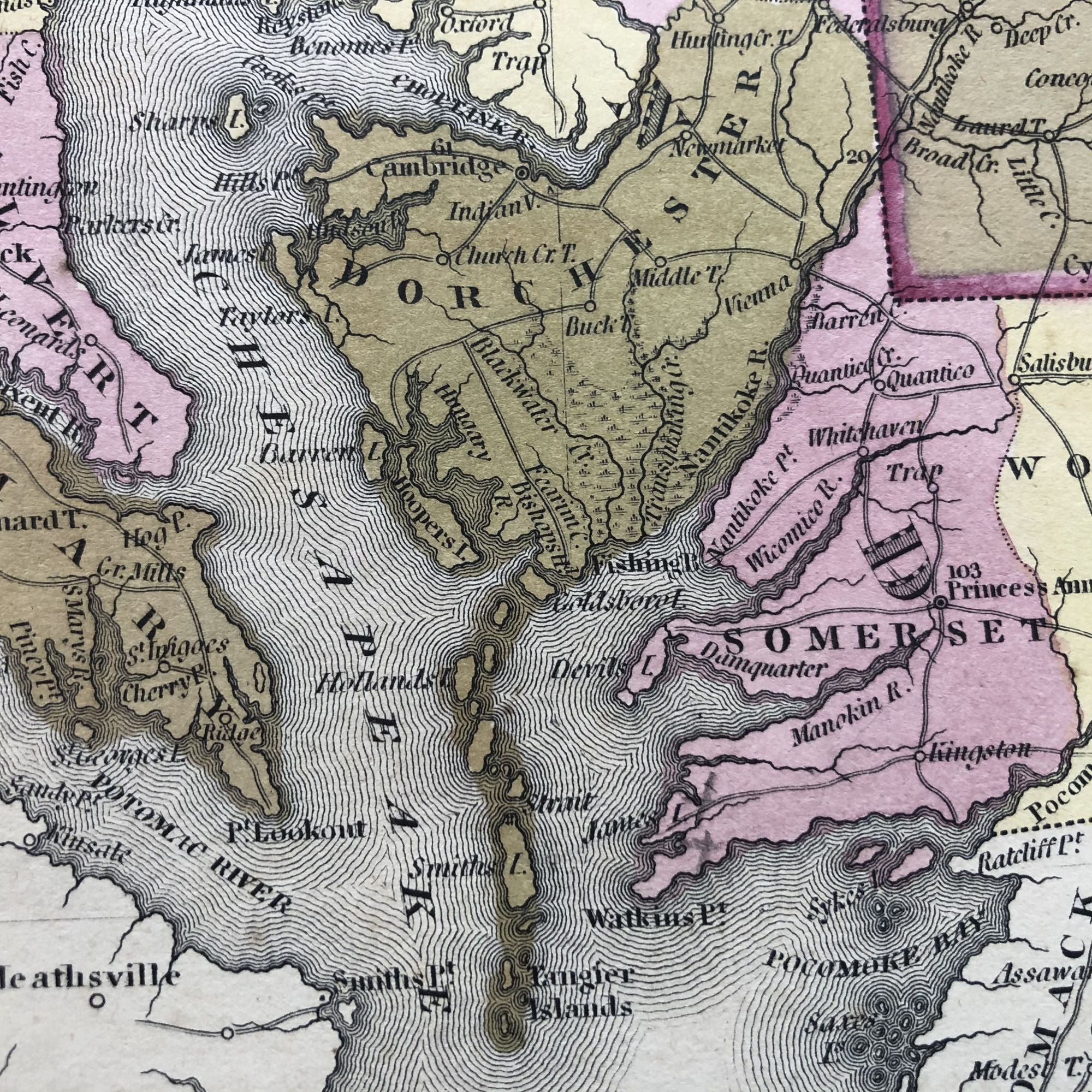
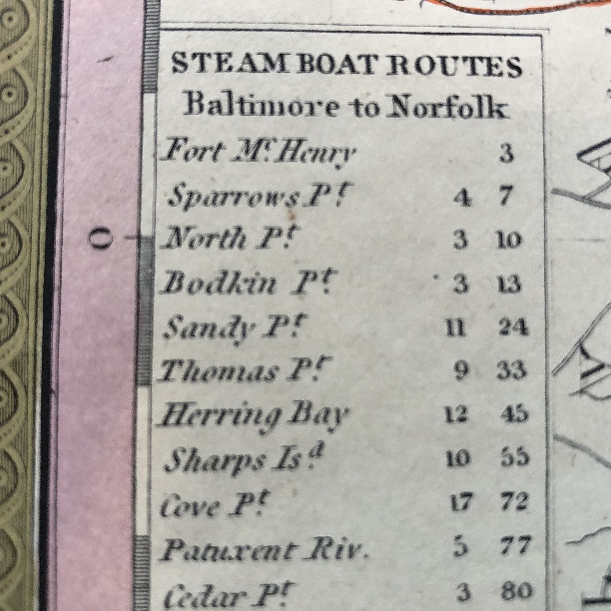
Beautiful 1850 Hand-Colored Map of Maryland and Delaware with a Chart of Chesapeake Bay Steamboat Routes.
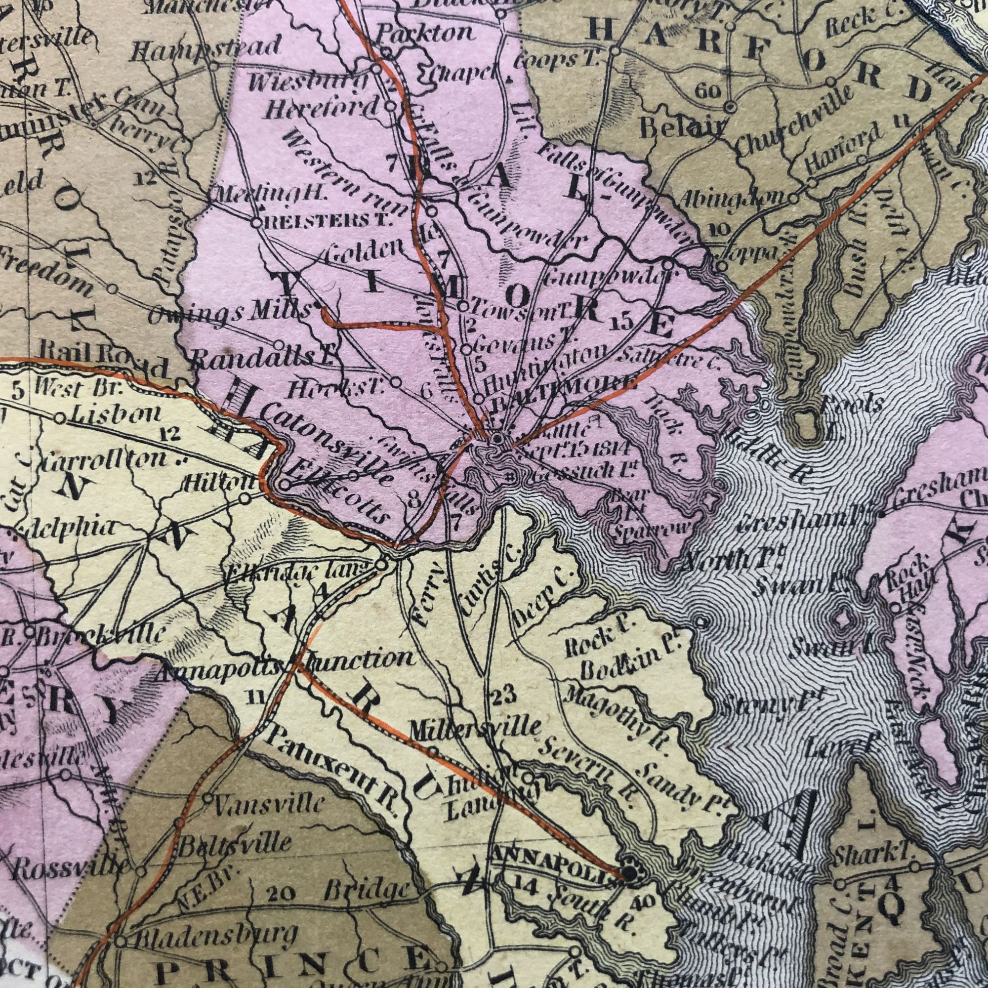
Published a decade before the beginning of the Civil War and during an explosion in the country's railroad routes, this map also depicts the still economically viable canals of the area, such as the C & O along the Potomac River, the Chesapeake and Delaware, across the thin stretch of land separated the Chesapeake and Delaware bays.
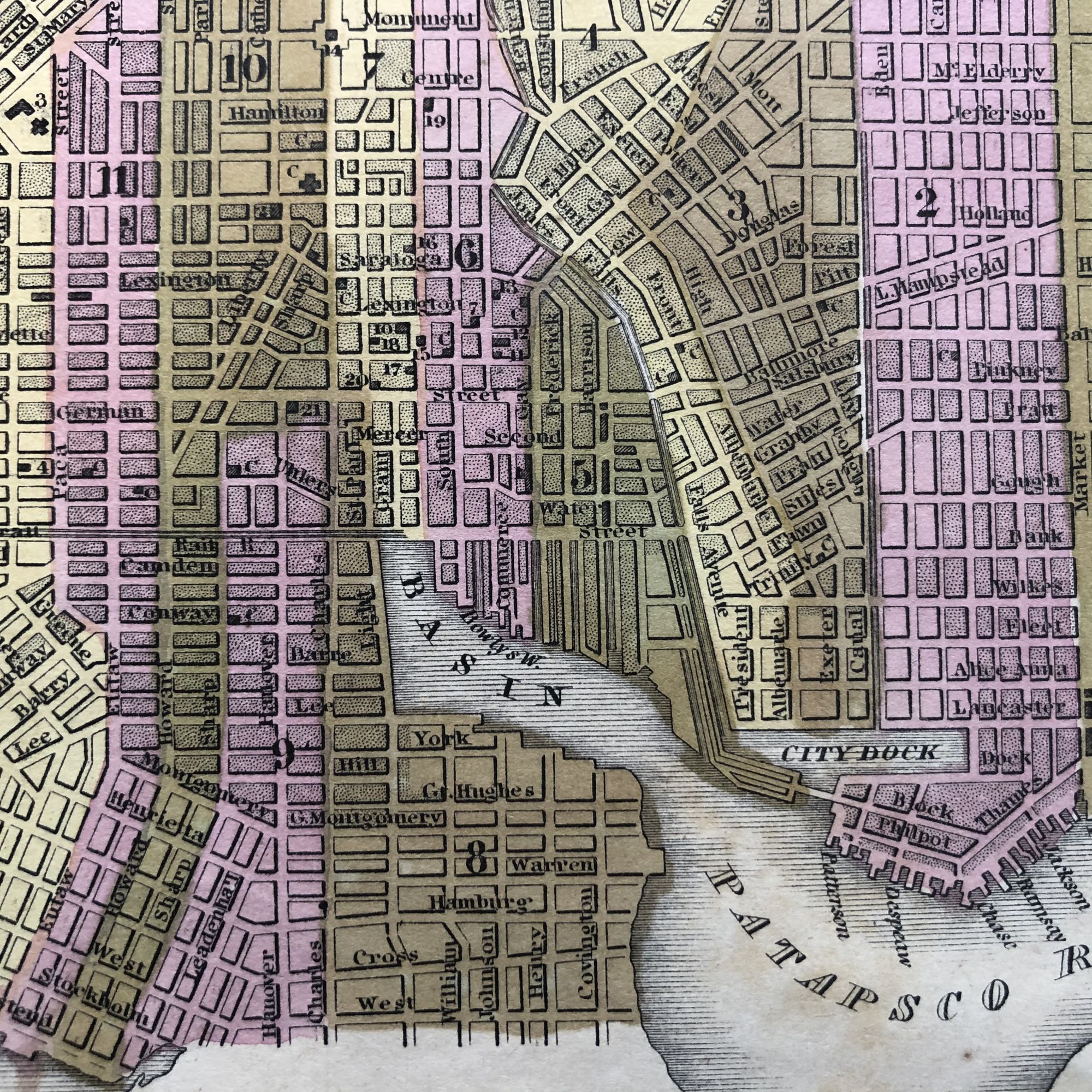
The lower left features a detailed street map of Baltimore in vignette.
Mild age toning.
This map measures 17 1/4" X 13 3/4" and is perfect for framing and display!
Price: $250.00