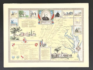
A Map of the United States Showing Boundaries at the Close of the Civil War - 1957 Pictorial Map
Holyoke, MA: Linweave Paper Co., 1957. 1st Edition. A vibrant mid-century map depicting the United States as it marched toward toward Civil War. The third in a series of four historical pictorial maps by Karl Smith for Linweave depicting illustrating the territorial expansion of the United States... More